
Cuvillier Verlag GmbH



| Departments | |
|---|---|
| Book Series (99) |
1415
|
| Nachhaltigkeit |
3
|
| Gesundheitswesen |
3
|
| Humanities |
2412
|
| Natural Sciences |
5430
|
| Mathematics | 230 |
| Informatics | 320 |
| Physics | 982 |
| Chemistry | 1371 |
| Geosciences | 131 |
| Human medicine | 246 |
| Stomatology | 10 |
| Veterinary medicine | 112 |
| Pharmacy | 147 |
| Biology | 837 |
| Biochemistry, molecular biology, gene technology | 121 |
| Biophysics | 25 |
| Domestic and nutritional science | 45 |
| Agricultural science | 1006 |
| Forest science | 201 |
| Horticultural science | 20 |
| Environmental research, ecology and landscape conservation | 149 |
| Engineering |
1821
|
| Common |
97
|
|
Leitlinien Unfallchirurgie
5. Auflage bestellen |
|
Advanced Search
Vegetationsökologisches Monitoring im Nationalpark Harz unter besonderer Berücksichtigung des Schalenwild-Einflusses und der Waldstruktur (English shop)
Tim Mann (Author)+ CD
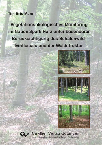
The primary conservation objective of the Harz National Park is the preservation and restoration of undisturbed natural dynamics. The aim of the National Park is to return the forest ecosystem, after centuries of intensive silvicultural use, to a largely near-natural condition, and subsequently to leave it to its own dynamics. Particularly during the restoration of the forest areas that deviate from natural conditions, however, browsing by ungulates influences the development of the vegetation to a considerable extent. In order to quantify the browsing impact of ungulates objectively, a vegetation monitoring scheme was developed for the Lower Saxon part of the Harz National Park. The aim of the present study is to describe the ecological effects of ungulate browsing on vegetation development in the different forest communities.
The study area covers 15,800 ha and extends from the colline and submontane zone of the western and northern edge of the Harz (approx. 250 m a.s.l.) up to the high-montane elevations of the Acker-Bruchberg ridge (927 m a.s.l.). The mean annual temperature ranges between 4.6 and 8.4 °C, the mean annual precipitation between 700 and 1400 mm.
The survey design comprises 146 plot pairs distributed across the entire area on the basis of a 1 × 1 km grid. Each plot pair consists of one fenced and one unfenced survey plot. The size of each survey plot is 100 m2. In order to also record rare forest communities adequately, the survey grid was densified in some areas. The size of the additional unfenced plots is 400 m2.
The systematic survey grid covers several forest communities. Up to the montane zone, woodrush beech forests dominate naturally; where base supply is better, woodruff beech forests also occur. From the upper montane altitudinal zone onwards, the pure beech forests are replaced by beech-spruce forests. In the highest elevations, reedgrass spruce forests predominate, adjoined by bog spruce forests and open raised bogs. In the valleys, various forms of streamside forests occur. On some mountain summits and steep escarpments, open scree slopes or block spruce forests are found. Large parts of the National Park, however, are occupied by spruce plantations far removed from natural conditions. The forest communities were grouped into 24 strata on the basis of stand age and naturalness.
| ISBN-13 (Printausgabe) | 3869551011 |
| ISBN-13 (Hard Copy) | 9783869551012 |
| ISBN-13 (eBook) | 9783736931015 |
| Language | German |
| Page Number | 216 |
| Edition | 1 Aufl. |
| Volume | 0 |
| Publication Place | Göttingen |
| Place of Dissertation | Universität Göttingen |
| Publication Date | 2009-09-11 |
| General Categorization | Dissertation |
| Departments |
Forest science
|


